FEMA High Water Mark Initative
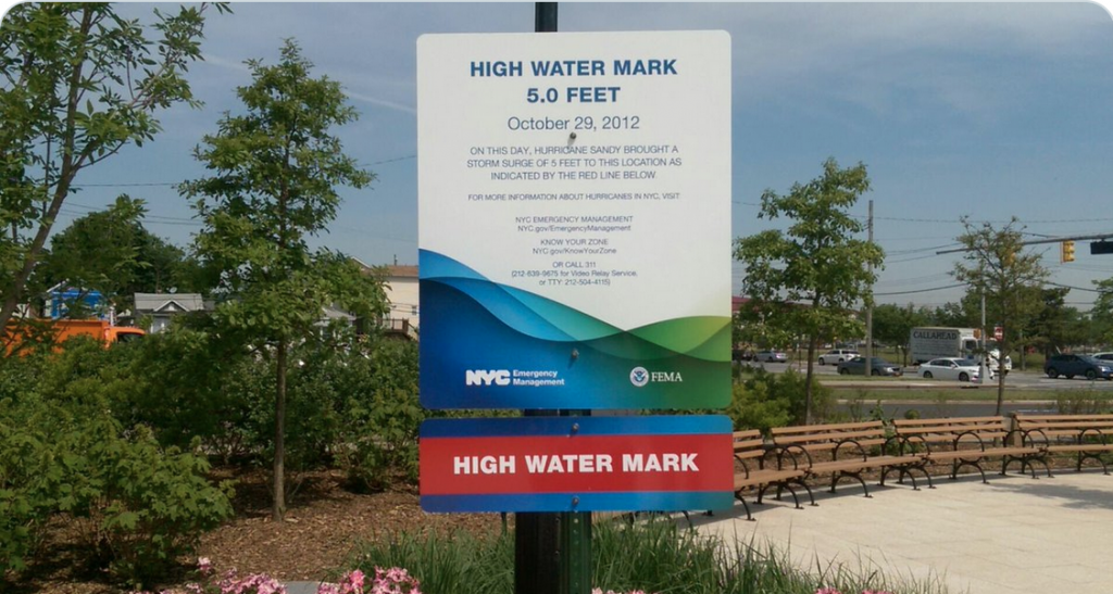
The purpose of the project is to document high water marks to show previous flooding levels. It is an educational tool that allows people to take photos of high water levels and post them on social media with a hashtag. The program was created by FEMA. Read more about the program at https://www.fema.gov/flood-maps/products-tools/high-water-mark-initiative. Thirty-seven communities…
Read MoreHigh Water Mark
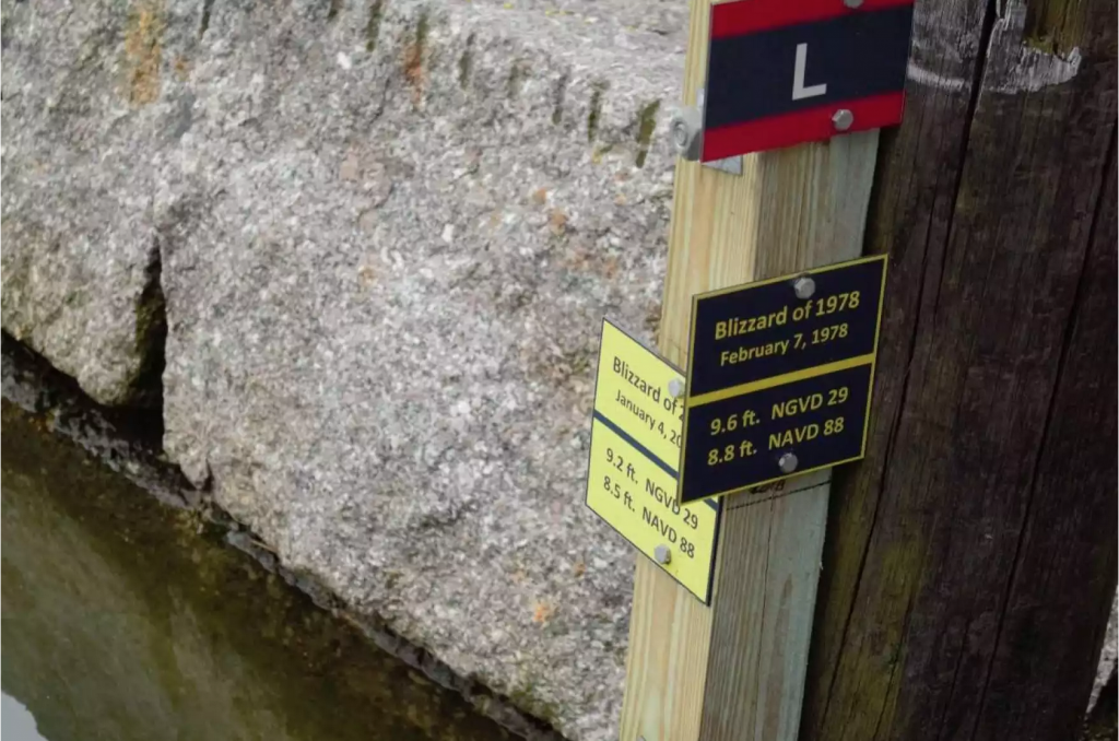
Project worked to relocate and determine the status and validate the accuracy of the existing HWMs from the Blizzard of 1978. The main initiative focused on the re-survey and/or re-establish locations.
Read MoreHigh Water Mark Signs
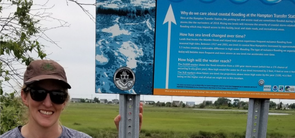
Take a photo with a High Water Mark sign and post it to social media using the hashtag #highwatermarknh.
Read MoreSuwannee River Water Level Monitoring
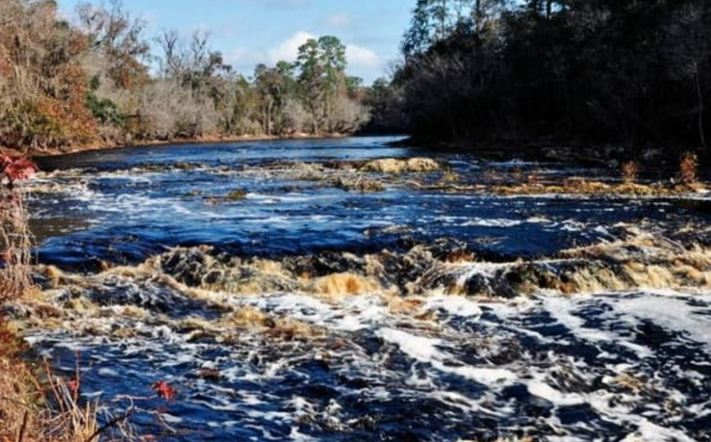
The public helps the Suwannee River (FL) Water Management District monitor water levels via text messaging at four sites: Wacissa River, Peacock Spring, Crosby Lake, Hampton Lake.
Read More