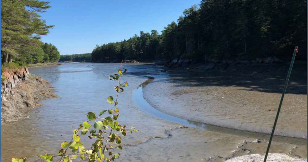
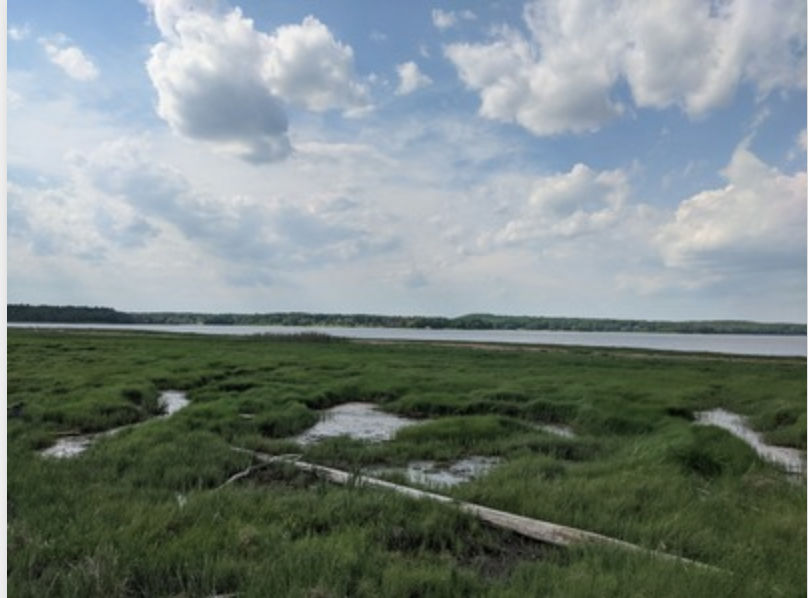
Arrowsic Flood Tides project

The Arrowsic Conservation Commission has installed several 4×4 wooden posts along roadsides where there is a history of flooding. These posts serve as platforms for photographing high water events and help ensure photos are taken from the same height, angle and place each time. The data collected will help the town better understand how often…
Read MoreBroward’s High Tides

The project collects images from community members and groups during flooding events and catalogs the circumstances of the flood: high tides/coastal flooding, rainfall/storms/hurricanes, or both. King Tide Kits are available for community groups to borrow to help track and report tidal flooding.
Read MoreCalifornia King Tides
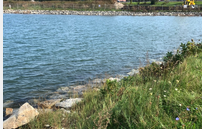
The California King Tides Project helps us visualize future sea level by observing the highest tides of today. You can help by taking and sharing photos of the shoreline during King Tides to create a record of changes to our coast and estuaries.
Read MoreCatch the Tide, Miami
This project uses a community driven approach to address some of the challenges associated with coastal flooding. In addition to tidal floods, we are also interested in all kinds of naturally occurred flooding including inland floods (hence the #FloodMiami social media presence).
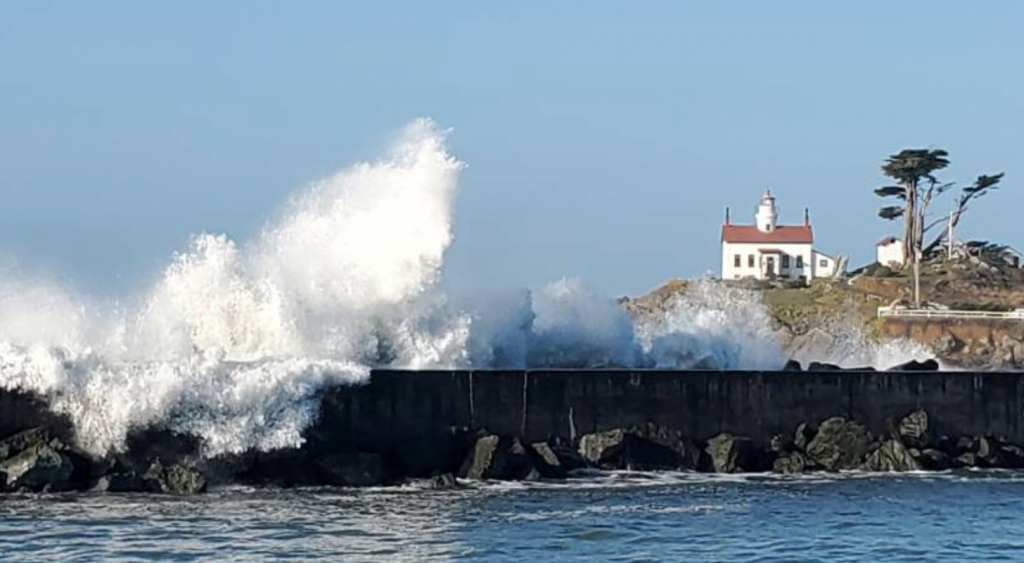
Read MoreCoastal Flooding: Storms and Sea Level Rise

The goals of the project are: to collect data to reveal the weather and water level conditions that are associated with localized coastal flooding, collect public opinion on concern and impacts of flooding; and raise awareness of local flooding impacts. Active projects in Belfast, Portand, So. Portland and Vinal Haven (ME), however, the project encourages…
Read MoreCoastal Flooding: Storms and Sea Level Rise
The goals of the project are: to collect data to reveal the weather and water level conditions that are associated with localized coastal flooding, collect public opinion on concern and impacts of flooding; and raise awareness of local flooding impacts. Active projects in Belfast, Portand, So. Portland and Vinal Haven (ME), however, the project encourages…
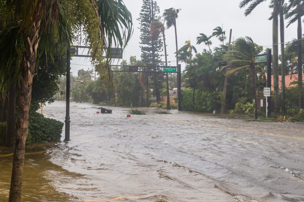
Read MoreCoastal Storm Damage
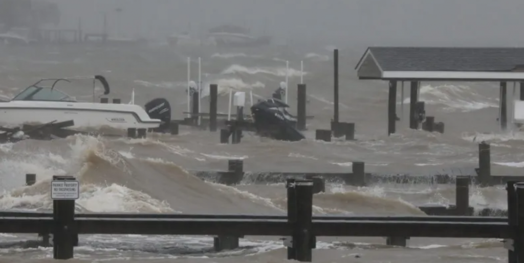
The goal of the project is to document the effect and impact of storm surge damage caused by coastal storms like hurricanes and Nor’easters. This information will help inform state and local recovery efforts.
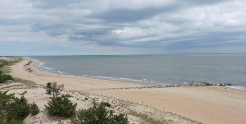
Read MoreCoastSnap Broadkill Beach

Public access to Broadkill Beach relies on dune crossovers that are vulnerable to erosion during storms due to the proximity of the dune toe to the Bay. CoastSnap contributors help environmental managers to gather “real-time” data on the condition of the beach and add to the existing datasets (optical, elevation, morphological) at this site to…
Read MoreCoastSnap Herring Point
Using cellphone images submitted by passers-by, CoastSnap allows more frequent monitoring of Herring Point beach erosion, dune sediment and vegetation, and complements the semi-annual surveys collected by DNREC.
Read MoreCoastSnap Indian River Inlet
Images submitted by the public through the CoastSnap station at Indian River Inlet help DNREC monitor the sand supply and the beach conditions, enabling more informed management decisions.
Read MoreCoastSnap State Beach MV
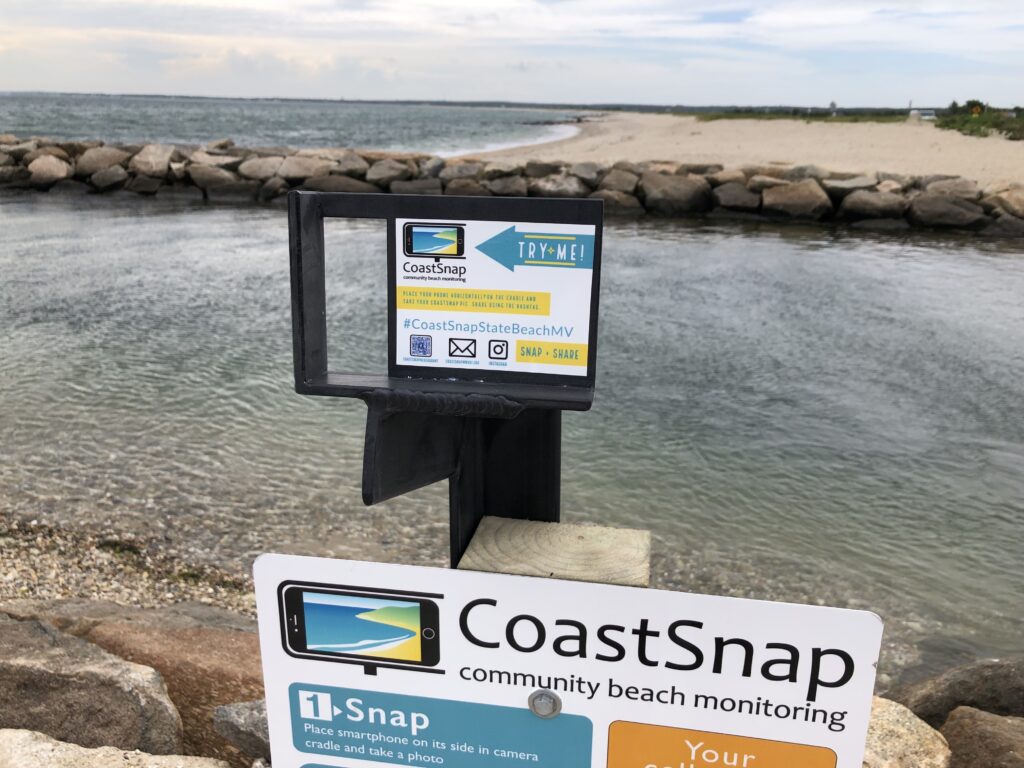
CoastSnap harnesses the power of crowdsourcing to record short- and long-term beach erosion and recovery. The station at State Beach in Oak Bluffs enables monitoring of sediment build up in the channel between Vineyard Sound and Sengekontaket Pond.
Read MoreCoastSnap Town Neck Beach

CoastSnap is a network of simple camera mounts at beaches that invite the public to take a photo and upload it to social media, using a specific hashtag. CoastSnap harnesses the power of crowdsourcing to record short- and long-term beach erosion and recovery. The station at Town Neck beach in Sandwich enables monitoring of a…
Read MoreEvidence of Intense Storms
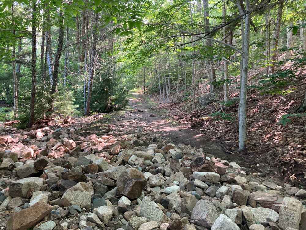
The project documents impacts on Mt. Desert Island, ME, of storms including intense precipitation events which are forecast to increase in the future due to climate change. Damage to infrastructure or environment may include: road washouts, erosion of soil or stream banks, flooding, sedimentation, rockfall, etc.
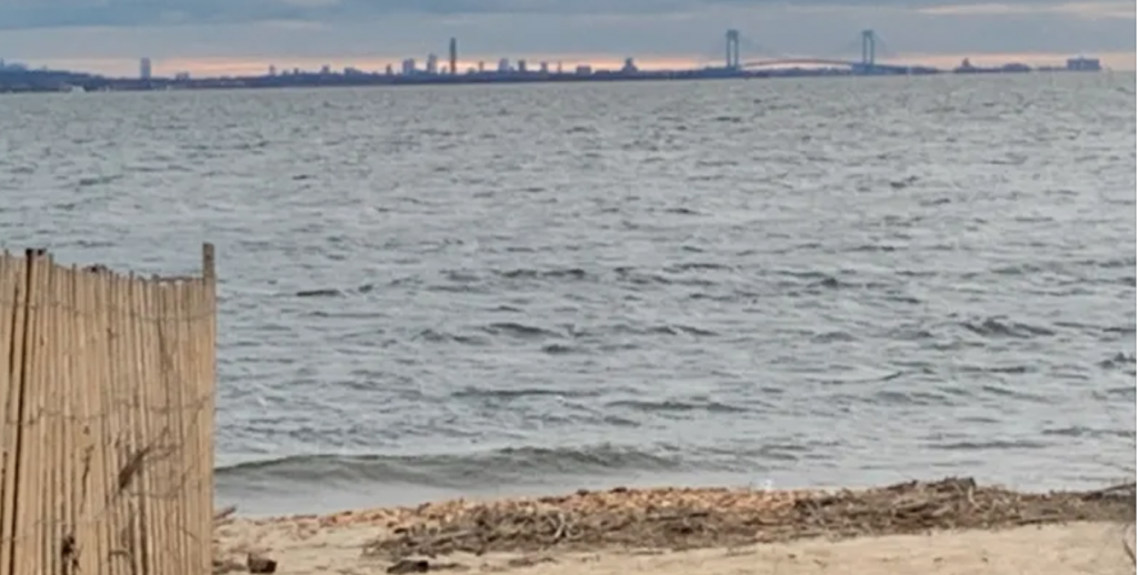
Read MoreFlood Watch – NYC
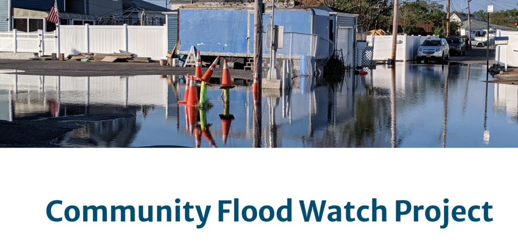
The Community Flood Watch project is a growing network of residents and community groups that report and share resources related to flooding in their communities. Residents submit photographs and reports that document flood event timing, depth, location, and associated impacts. Researchers can use these reports to improve flooding forecasts and alerts.
Read MoreGhosts of the Coast
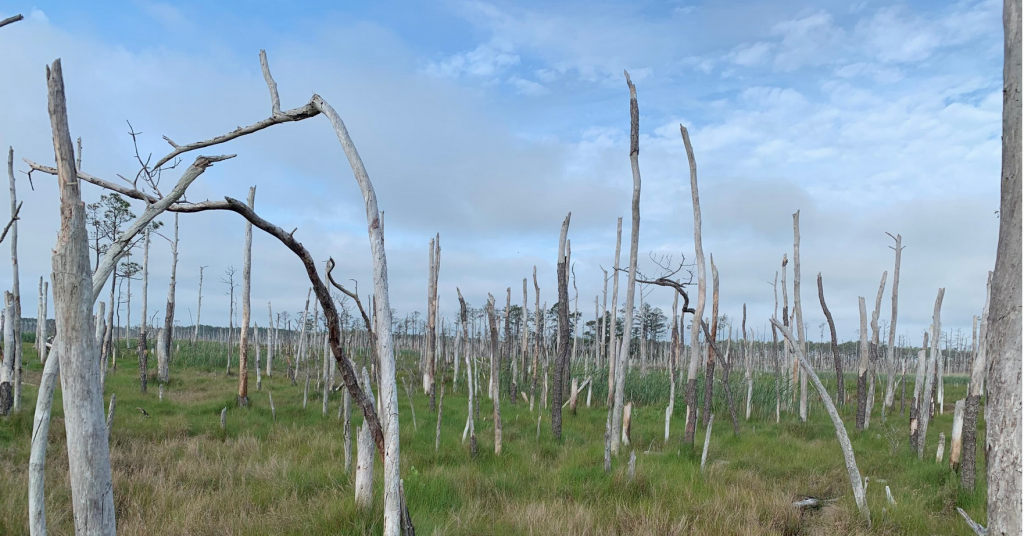
We are engaging citizen scientists to help document the formation of ghost forests on a larger scale. Their observations will help us better understand where ghost forests are being observed and what these locations have in common.
Read MoreGulf of Maine King Tides
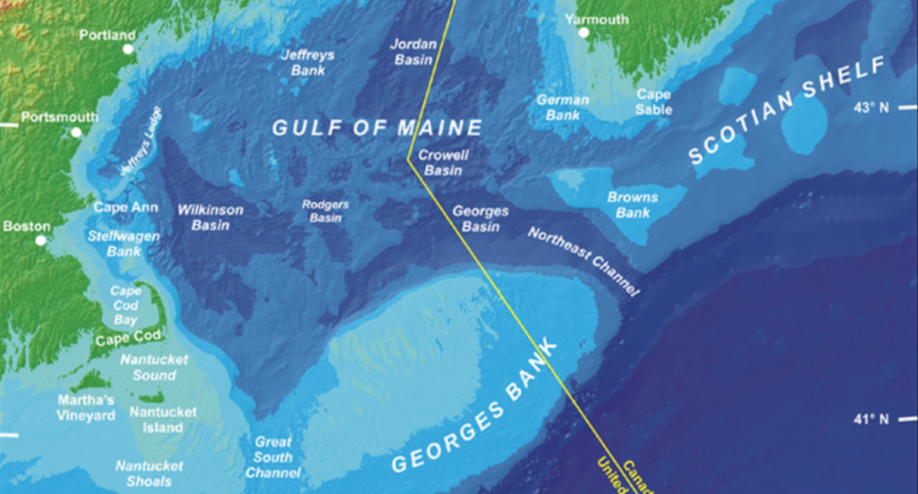
The Gulf of Maine King Tides Project helps communities in the Northeastern US and Atlantic Canada anticipate impacts from rising sea levels. Join in this international effort to document—via cameras and smart phones—extreme high tides, which will become average water levels in coming years. King Tides images help scientists and planners assess future flood risks…
Read MoreHarpswell King Tide Initiative
The Harpswell King Tide project is a citizen science initiative to collect photographic data showing the impact of rising seas on roads, bridges, property, and ecosystems on the highest tides in Harpswell, ME. The goal is to record the impact of the higher tides and storm surge over time.
Read MoreHawaii and Pacific Islands King Tides Citizen Science Project
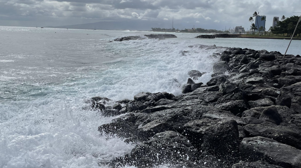
Community scientists add the photos to this free, publicly accessible and crowd-sourced dataset by photographing King Tides at places important to you throughout Hawai‘i and Oceania. Photos, observations, date, time, and location can be submitted through the Hawaiʻi and Pacific Islands King Tides Project web platform, accessible on a smartphone or desktop computer.
Read MoreHigh Tide – R.I. MyCoast
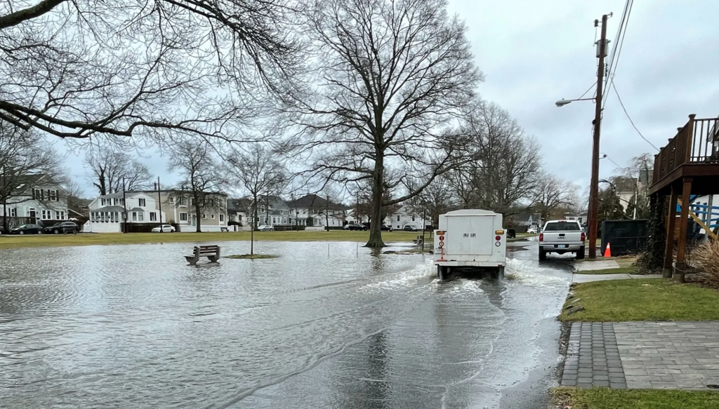
The purpose of the project is to visualize the impact of coastal hazards and to enhance awareness among decision-makers and stakeholders by collecting and analyzing pictures and data relating to coastal events
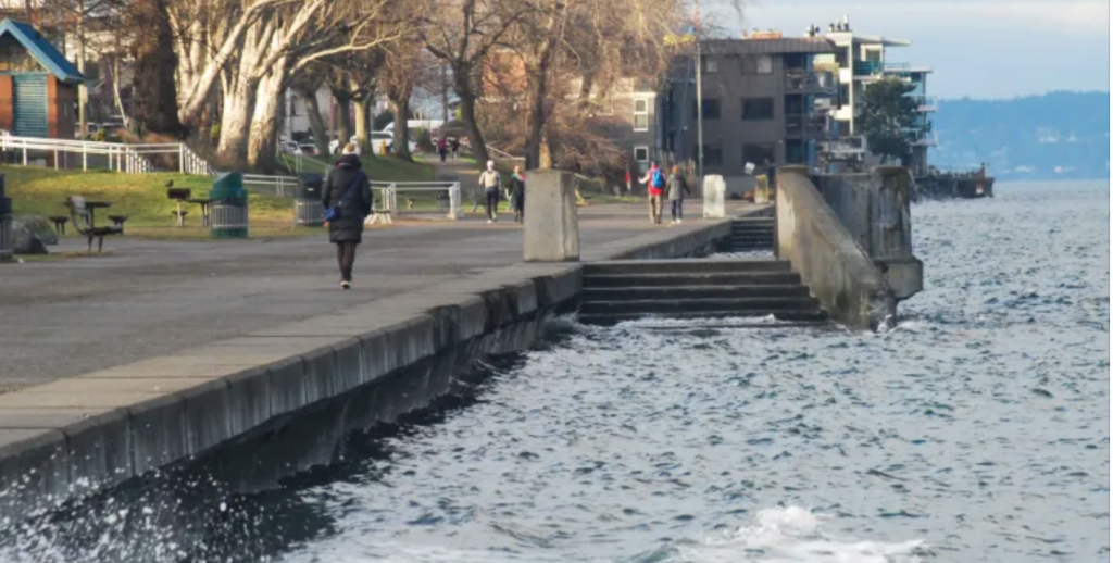
Read MoreHigh Tide Flooding
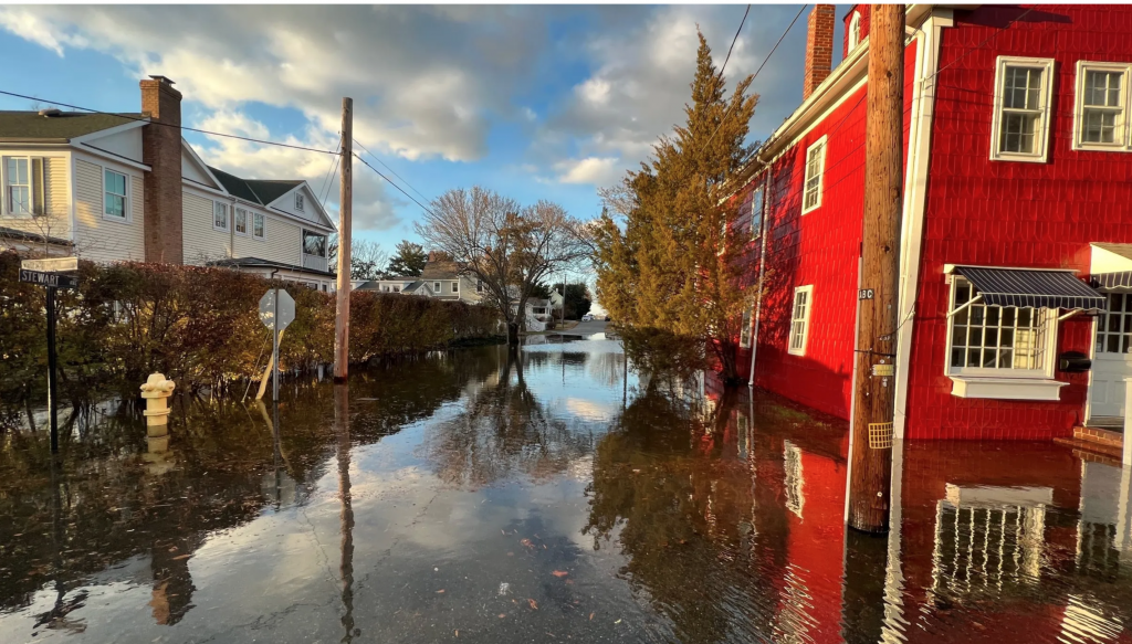
High Tide Flooding, also known as nuisance flooding or sunny day flooding and is coastal flooding that occurs at high tide and interrupts day to day activities leading to a public inconvenience such as road closures, and overwhelmed storm drains. Community members upload their high tide flooding images to the Maryland MyCoast portal. Images are…
Read MoreHigh Water Mark Signs
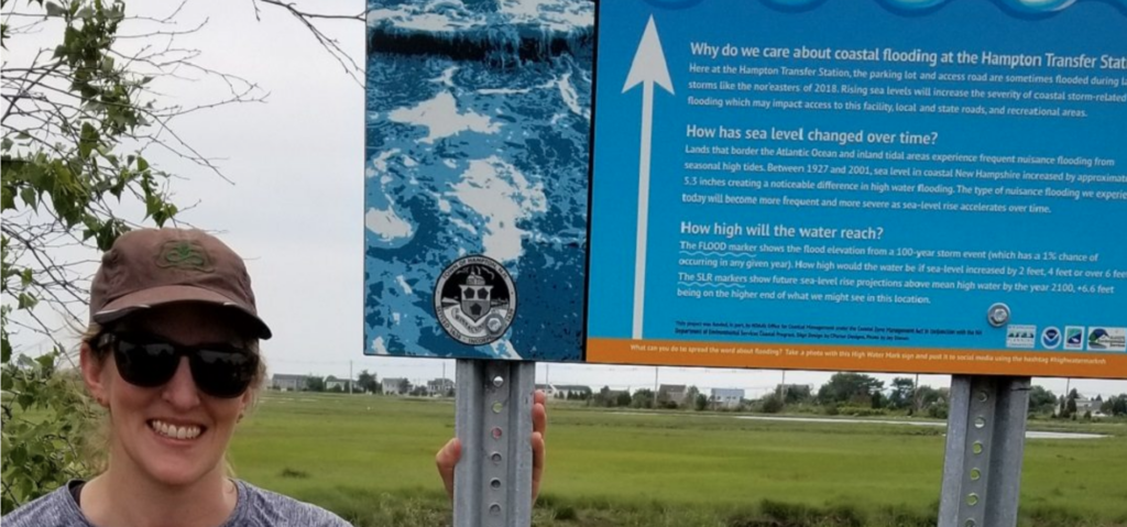
Take a photo with a High Water Mark sign and post it to social media using the hashtag #highwatermarknh.
Read MoreHudson River Estuary Chronolog

Halfway between the Adirondack Mountains and the Atlantic Ocean, this freshwater tidal shoreline has great biodiversity of fish, birds, and plants. With this citizen science project, we invite visitors to use the Chronolog post to capture images of tide changes, ice advances or retreats, passing ship traffic, and the seasonal invasion of water chestnuts (Trapa…
Read MoreKing Tides – Massachusetts

The Massachusetts king tides initiative documents the effect that extreme tide events have on the state’s beaches, coastal waterways, private property, and public infrastructure.
Read MoreKing Tides – South Carolina

The goal of the SC King Tides Initiative is to document the effect extreme tide events have on our state’s beaches, coastal waterways, private property and public infrastructure.
Read MoreKing Tides – Washington
Photos submitted by the public through this site are used to characterize beach change and the impact of nearshore hazards in order to enhance awareness among decision-makers and stakeholders.
Read MoreLake Superior High Water Spotter

This project helps document shoreline impacts from water levels on Lake Superior using photos submitted by the public from around Lake Superior to capture shoreline conditions and establish a visual record.
Read MoreNew Jersey High Water
New Jersey MyCoast portal is used to collect and analyze photos of coastal events and places. Photos are linked to data about weather and tides to create reports that help government agencies, business owners, and residents to understand coastal change and make informed decisions
Read MoreNorth Carolina King Tides

The project documents extreme high tides using photos to visualize what sea level rise will look like; create record and track changes, understand impacts to local resources. For many living in coastal North Carolina, flooding is a normal part of life. The coast is very flat, and tides, heavy rain events, and even wind play…
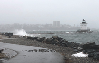
Read MoreOregon King Tides Project
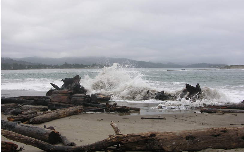
Volunteers for the Oregon King Tides Project photograph the year’s highest tides, known as king tides, to demonstrate current coastal flooding vulnerabilities and to anticipate what will become ordinary tide levels with sea level rise. In fall and winter, CoastWatch and the Oregon Coastal Management Program provide outreach and training.
Read MorePicture Post Monitoring – Hampton Falls
Coastal Research Volunteer (CRV) is working with local salt marsh natural areas to install Picture Posts, fixed points from which volunteers regularly take pictures. Photographs taken at these fixed locations build up a long-term record of changes over time. Our Picture Posts in Hampton Falls and Seabrook are part of a nationwide network of Picture…
Read MorePicture Post Monitoring – Seabrook

Coastal Research Volunteer (CRV) is working with local salt marsh natural areas to install Picture Posts, fixed points from which volunteers regularly take pictures. Photographs taken at these fixed locations build up a long-term record of changes over time. Our Picture Posts in Hampton Falls and Seabrook are part of a nationwide network of Picture…
Read MoreRising Tides Photo Contest
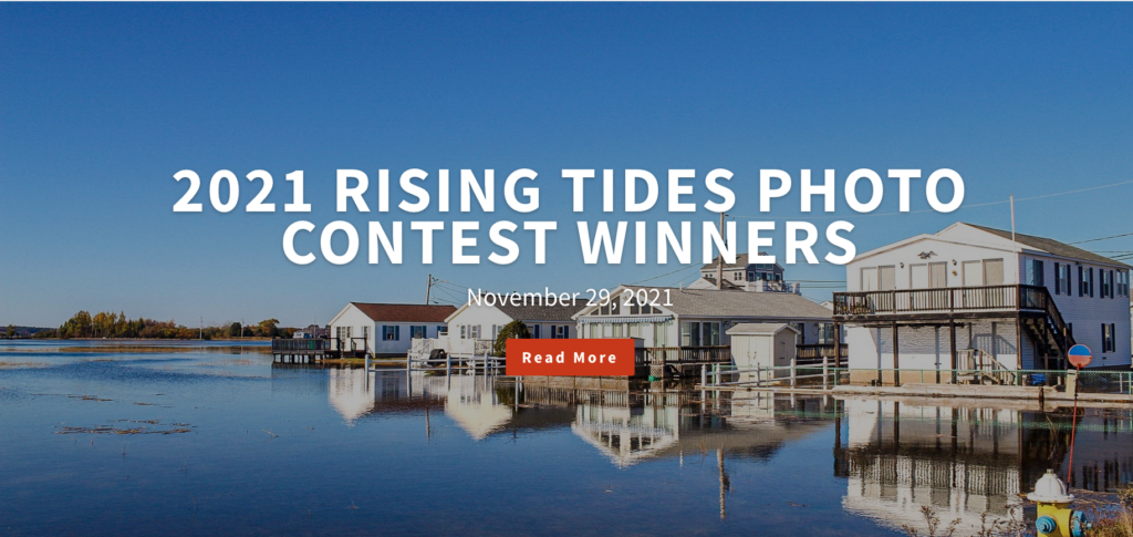
Each year, CAW invites citizens to photograph extreme high tides during its annual photo contest in order to raise awareness of New Hampshire’s rising tides. Photographing high tide flooding gives us a glimpse of what daily water levels could be like in the future.
Read MoreSeaRise
Public contributes photos and data to inform a coordinated strategy to ensure communities are resilient to severe weather events, storm surge, and changing ocean conditions. Our collective efforts will aid in wildlife conservation and habitat protection. Photos and data on flooding inform a coordinated strategy to ensure South Carolina’s communities are resilient to severe weather…
Read MoreStorm Reporter – Maryland
A portal to collect and analyze pictures and data relating to flooding caused by precipitation or coastal events. Information collected through this site is used to visualize the impacts of flood events; to enhance awareness among decision-makers and residents of Maryland and to encourage action to reduce flood risks.
Read MoreStorm Reporter – Massachusetts
Tools used by the Massachusetts Rapid Response Coastal Storm Damage Assessment Team to promote rapid delivery and archival of coastal storm damage observations to calibrate National Weather Service erosion models.
Read MoreStorm Reporter – Rhode Island

MyCoast RI is an effort to bolster community stewardship of changing shorelines, monitor shoreline change, increase awareness, support local-level and state government impacts planning, and leverage cooperative resilience initiatives.
Read MoreStorm Surge Washington
Information collected through this site is used to characterize beach change and the impact of nearshore hazards in order to enhance awareness among decision-makers and stakeholders.
Read MoreStorm Witness

South Carolina Storm Witness facilitates communication and beachfront damage assessment information among coastal municipalities and state coastal resource managers. Damage assessment information collected through the system enables DHEC to efficiently analyze post-storm beach conditions and expedite recovery activities, including permitting and other regulatory decisions.
Read MoreTake a Beach Photo – Washington
Information collected through this site is used to characterize beach change and the impact of nearshore hazards in order to enhance awareness among decision-makers and stakeholders.
Read MoreUrban Tides Initiative
The Urban Tides Program invites individuals to take photos of the Southern California coast during extreme tide events to document the changing shoreline and any impacts on beaches or nearby communities. Extreme tides, particularly king tides, can help us identify current flooding hotspots and visualize what future sea level rise will look like for our…
Read More