Beach Profiling in Coastal New Hampshire
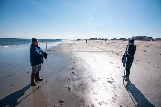
Beaches are constantly changing! Forces like storms, ocean currents, and changes in sea level work together to add and remove sand from the beach. Beach profiling is a simple way to track these changes over time. By measuring the contour, or profile, of a beach at regular monthly intervals, we can observe long-term patterns of sand…
Read MoreCommunity Alliance for Surveying the Topography of Sandy Beaches (CoAST SB)
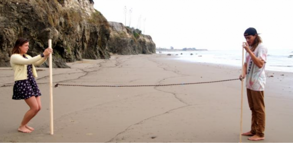
Volunteers monitor the movement of the shoreline in Santa Barbara and Ventura counties, measuring the contour of sandy beaches using a quick and simple beach profiling survey technique. The data collected is provided to USGS to help track changes and callibrate models; local governments use this information for climate adaptation planning.
Read MoreSouthern Maine Volunteer Beach Profile Monitoring Program – So. Portland
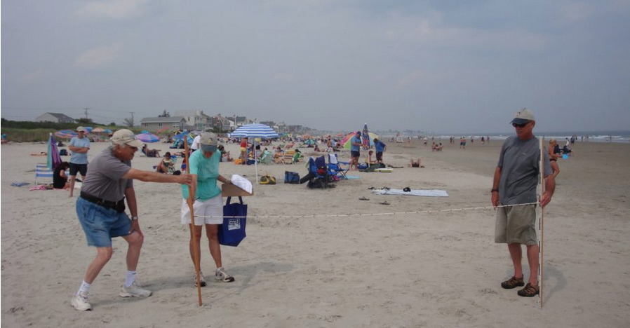
The Southern Maine Volunteer Beach Profile Monitoring Program is a unique collaboration among local volunteers, participating municipalities, and scientists, resulting in over 20 years of critical data on the status of one of Maine’s most vital and valuable natural resources. Data is used to inform beach management decisions; to monitor the success of management programs.
Read MoreSouthern Maine Volunteer Beach Profile Monitoring Program – York
The Southern Maine Volunteer Beach Profile Monitoring Program is a unique collaboration among local volunteers, participating municipalities, and scientists, resulting in over 20 years of critical data on the status of one of Maine’s most vital and valuable natural resources. Data is used to inform beach management decisions; to monitor the success of management programs.
Read More


