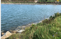
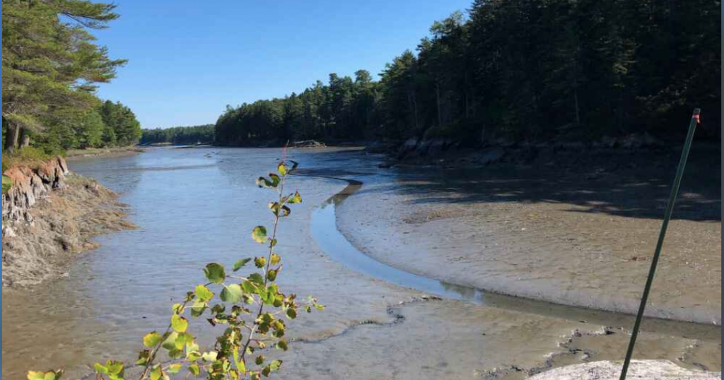
Arrowsic Flood Tides project

The Arrowsic Conservation Commission has installed several 4×4 wooden posts along roadsides where there is a history of flooding. These posts serve as platforms for photographing high water events and help ensure photos are taken from the same height, angle and place each time. The data collected will help the town better understand how often…
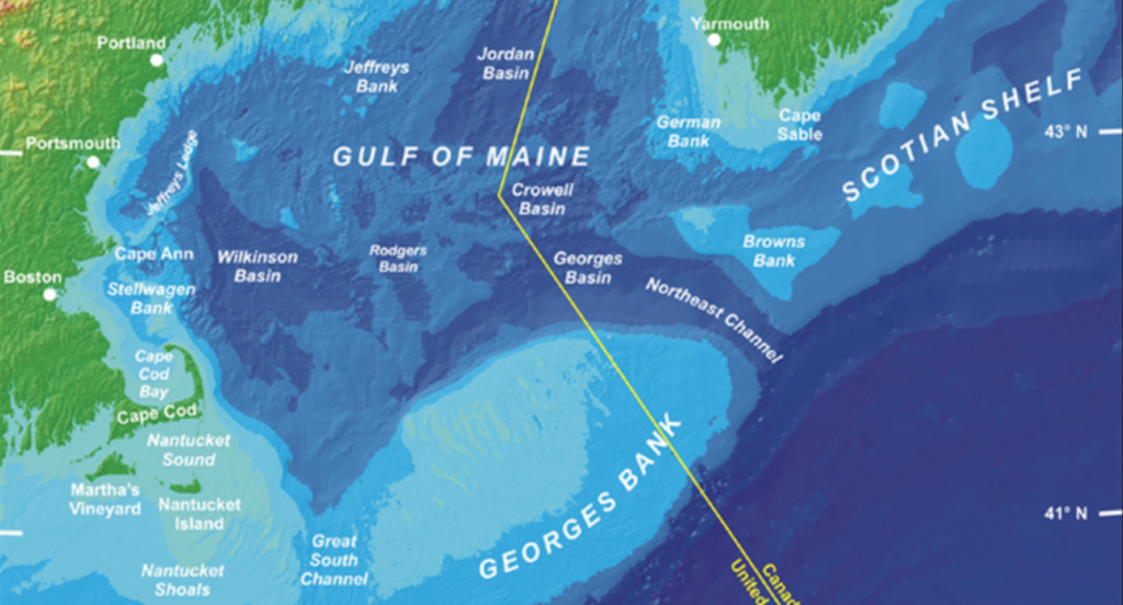
Read MoreCoastal Flooding: Storms and Sea Level Rise

The goals of the project are: to collect data to reveal the weather and water level conditions that are associated with localized coastal flooding, collect public opinion on concern and impacts of flooding; and raise awareness of local flooding impacts. Active projects in Belfast, Portand, So. Portland and Vinal Haven (ME), however, the project encourages…
Read MoreCoastal Flooding: Storms and Sea Level Rise
The goals of the project are: to collect data to reveal the weather and water level conditions that are associated with localized coastal flooding, collect public opinion on concern and impacts of flooding; and raise awareness of local flooding impacts. Active projects in Belfast, Portand, So. Portland and Vinal Haven (ME), however, the project encourages…
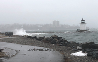
Read MoreEvidence of Intense Storms
The project documents impacts on Mt. Desert Island, ME, of storms including intense precipitation events which are forecast to increase in the future due to climate change. Damage to infrastructure or environment may include: road washouts, erosion of soil or stream banks, flooding, sedimentation, rockfall, etc.
Read MoreGhosts of the Coast
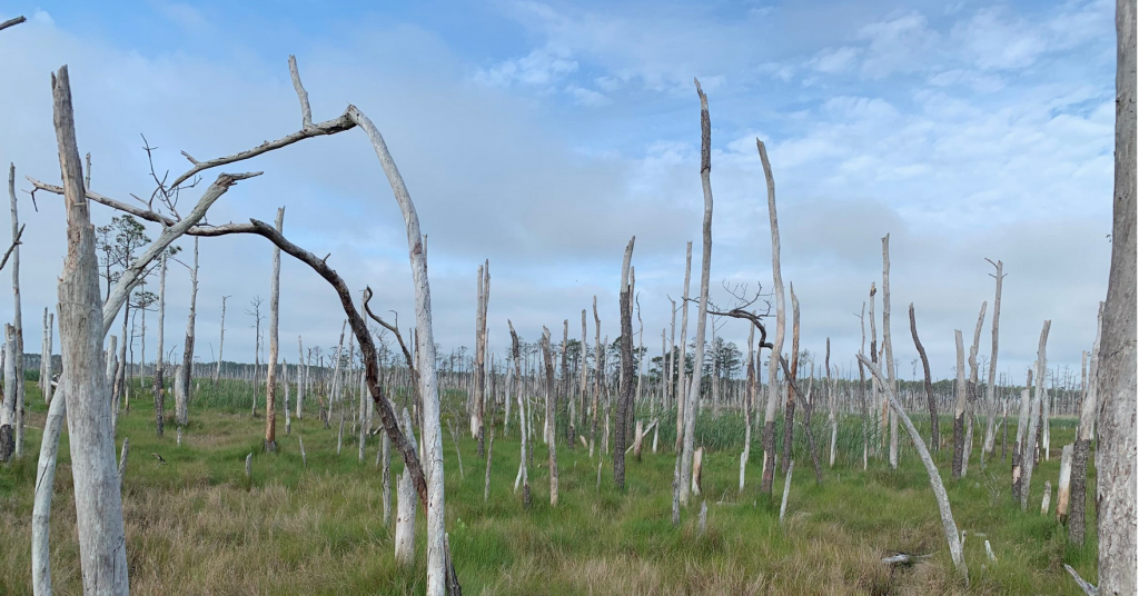
We are engaging citizen scientists to help document the formation of ghost forests on a larger scale. Their observations will help us better understand where ghost forests are being observed and what these locations have in common.
Read MoreGulf of Maine King Tides
The Gulf of Maine King Tides Project helps communities in the Northeastern US and Atlantic Canada anticipate impacts from rising sea levels. Join in this international effort to document—via cameras and smart phones—extreme high tides, which will become average water levels in coming years. King Tides images help scientists and planners assess future flood risks…
Read MoreHarpswell King Tide Initiative
The Harpswell King Tide project is a citizen science initiative to collect photographic data showing the impact of rising seas on roads, bridges, property, and ecosystems on the highest tides in Harpswell, ME. The goal is to record the impact of the higher tides and storm surge over time.
Read MoreHigh Water Mark
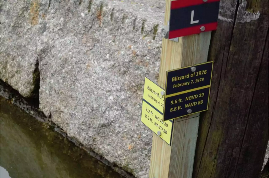
Project worked to relocate and determine the status and validate the accuracy of the existing HWMs from the Blizzard of 1978. The main initiative focused on the re-survey and/or re-establish locations.
Read MoreSensing Storm Surge in 3 Maine Estuaries

Individuals maintain a water level logger is moored at a waterfront field site. Community members visit the sites monthly to download the data, which are then uploaded to the project website. The goals is to observe, document, and map storm surge events in Bass Harbor, the Penobscot River, Southwest Harbor and the Bagaduce River.
Read MoreSouthern Maine Volunteer Beach Profile Monitoring Program – So. Portland
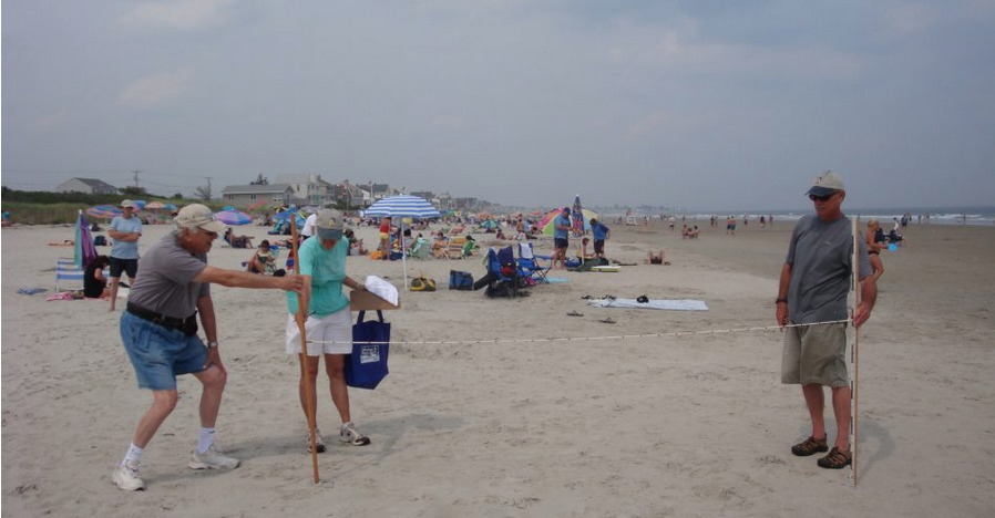
The Southern Maine Volunteer Beach Profile Monitoring Program is a unique collaboration among local volunteers, participating municipalities, and scientists, resulting in over 20 years of critical data on the status of one of Maine’s most vital and valuable natural resources. Data is used to inform beach management decisions; to monitor the success of management programs.
Read MoreSouthern Maine Volunteer Beach Profile Monitoring Program – York
The Southern Maine Volunteer Beach Profile Monitoring Program is a unique collaboration among local volunteers, participating municipalities, and scientists, resulting in over 20 years of critical data on the status of one of Maine’s most vital and valuable natural resources. Data is used to inform beach management decisions; to monitor the success of management programs.
Read More