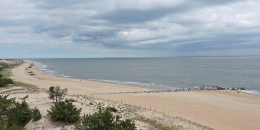
CoastSnap Broadkill Beach

Public access to Broadkill Beach relies on dune crossovers that are vulnerable to erosion during storms due to the proximity of the dune toe to the Bay. CoastSnap contributors help environmental managers to gather “real-time” data on the condition of the beach and add to the existing datasets (optical, elevation, morphological) at this site to…
Read MoreCoastSnap Herring Point
Using cellphone images submitted by passers-by, CoastSnap allows more frequent monitoring of Herring Point beach erosion, dune sediment and vegetation, and complements the semi-annual surveys collected by DNREC.
Read MoreCoastSnap Indian River Inlet
Images submitted by the public through the CoastSnap station at Indian River Inlet help DNREC monitor the sand supply and the beach conditions, enabling more informed management decisions.
Read MoreGhosts of the Coast
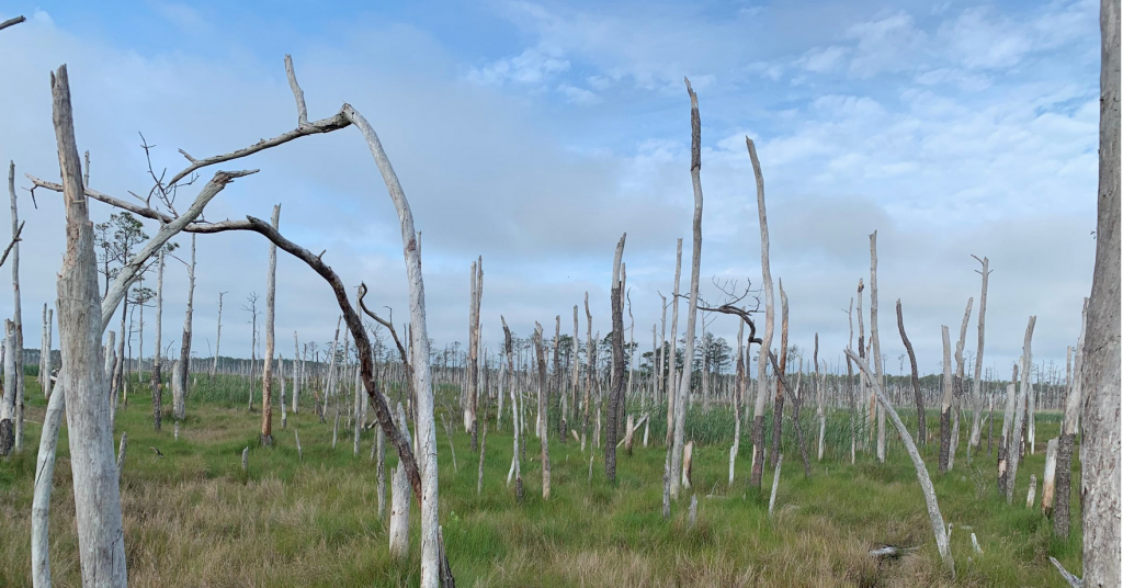
We are engaging citizen scientists to help document the formation of ghost forests on a larger scale. Their observations will help us better understand where ghost forests are being observed and what these locations have in common.
Read More