California King Tides
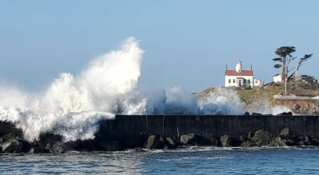
The California King Tides Project helps us visualize future sea level by observing the highest tides of today. You can help by taking and sharing photos of the shoreline during King Tides to create a record of changes to our coast and estuaries.
Read MoreCommunity Alliance for Surveying the Topography of Sandy Beaches (CoAST SB)
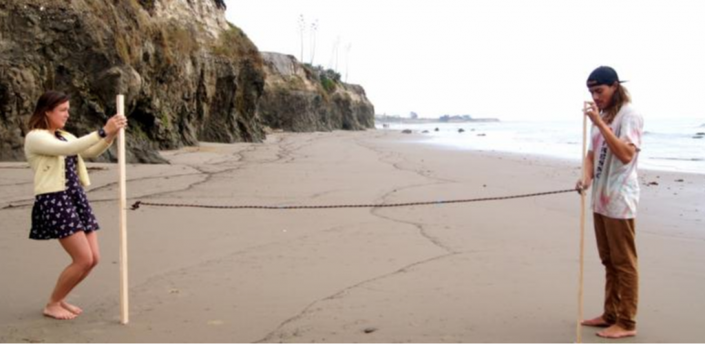
Volunteers monitor the movement of the shoreline in Santa Barbara and Ventura counties, measuring the contour of sandy beaches using a quick and simple beach profiling survey technique. The data collected is provided to USGS to help track changes and callibrate models; local governments use this information for climate adaptation planning.
Read MoreUrban Tides Initiative
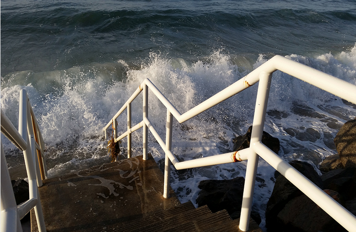
The Urban Tides Program invites individuals to take photos of the Southern California coast during extreme tide events to document the changing shoreline and any impacts on beaches or nearby communities. Extreme tides, particularly king tides, can help us identify current flooding hotspots and visualize what future sea level rise will look like for our…
Read More


