Storms
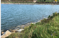
Coastal Flooding: Storms and Sea Level Rise

The goals of the project are: to collect data to reveal the weather and water level conditions that are associated with localized coastal flooding, collect public opinion on concern and impacts of flooding; and raise awareness of local flooding impacts. Active projects in Belfast, Portand, So. Portland and Vinal Haven (ME), however, the project encourages…
Read MoreCoastal Flooding: Storms and Sea Level Rise
The goals of the project are: to collect data to reveal the weather and water level conditions that are associated with localized coastal flooding, collect public opinion on concern and impacts of flooding; and raise awareness of local flooding impacts. Active projects in Belfast, Portand, So. Portland and Vinal Haven (ME), however, the project encourages…
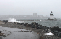
Read MoreCoastal Storm Damage
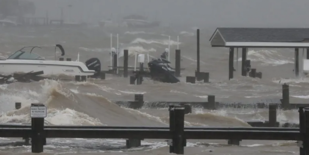
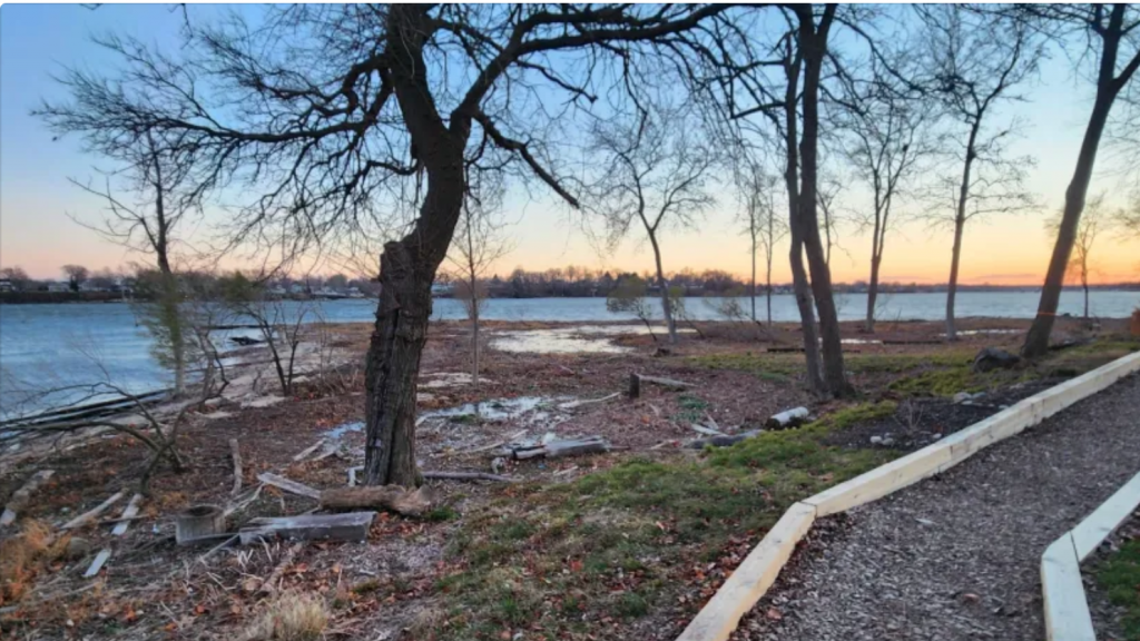
The goal of the project is to document the effect and impact of storm surge damage caused by coastal storms like hurricanes and Nor’easters. This information will help inform state and local recovery efforts.
Read MoreCoastSnap Town Neck Beach

CoastSnap is a network of simple camera mounts at beaches that invite the public to take a photo and upload it to social media, using a specific hashtag. CoastSnap harnesses the power of crowdsourcing to record short- and long-term beach erosion and recovery. The station at Town Neck beach in Sandwich enables monitoring of a…
Read MoreEvidence of Intense Storms
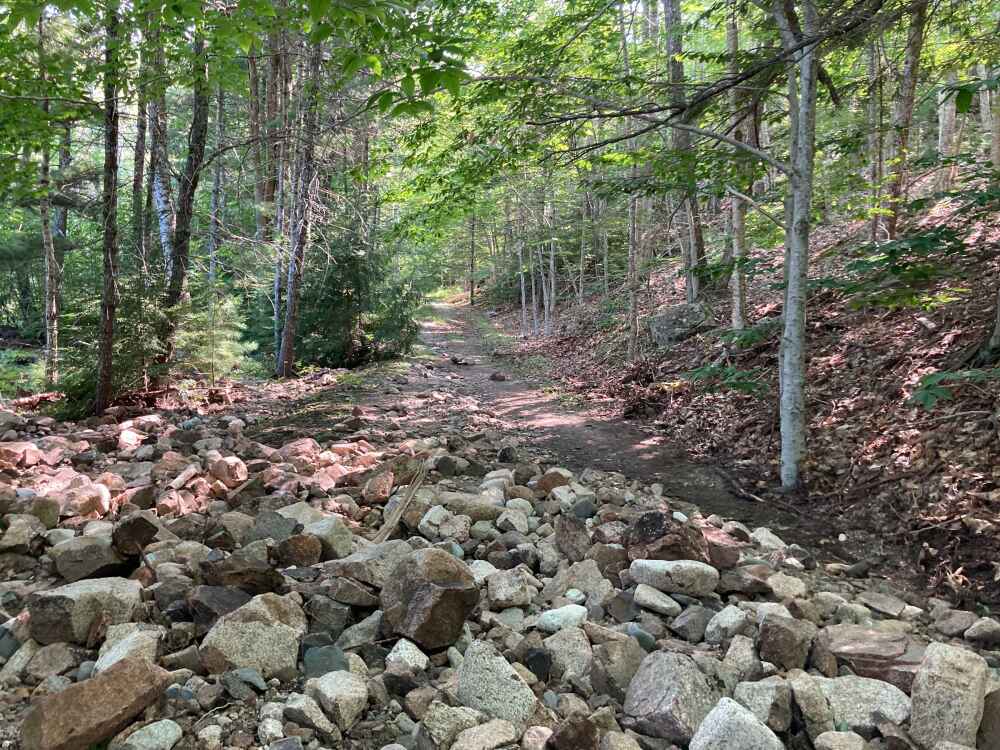
The project documents impacts on Mt. Desert Island, ME, of storms including intense precipitation events which are forecast to increase in the future due to climate change. Damage to infrastructure or environment may include: road washouts, erosion of soil or stream banks, flooding, sedimentation, rockfall, etc.
Read MoreStorm Reporter – Maryland
A portal to collect and analyze pictures and data relating to flooding caused by precipitation or coastal events. Information collected through this site is used to visualize the impacts of flood events; to enhance awareness among decision-makers and residents of Maryland and to encourage action to reduce flood risks.
Read MoreStorm Reporter – Massachusetts
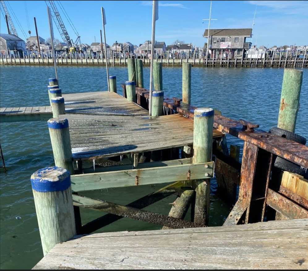
Tools used by the Massachusetts Rapid Response Coastal Storm Damage Assessment Team to promote rapid delivery and archival of coastal storm damage observations to calibrate National Weather Service erosion models.
Read MoreStorm Reporter – Rhode Island

MyCoast RI is an effort to bolster community stewardship of changing shorelines, monitor shoreline change, increase awareness, support local-level and state government impacts planning, and leverage cooperative resilience initiatives.
Read More